High Point, Palm Beach County, Florida
High Point, Palm Beach County, Florida
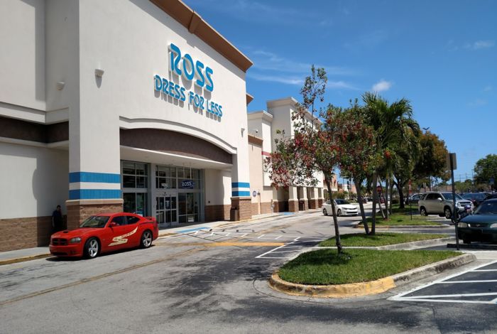
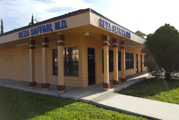
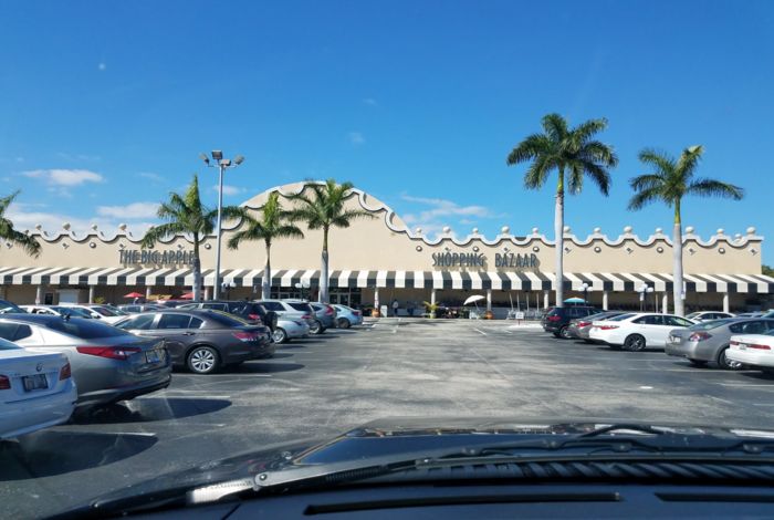
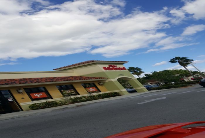
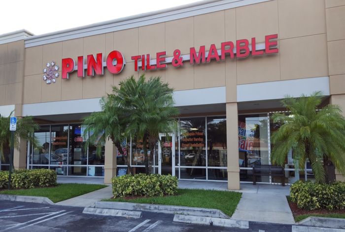

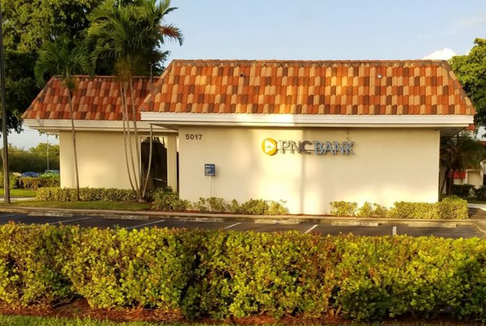

High Point is a city in Palm Beach County, Florida. As of the 2010 census, the city population was 3,686. The city has a total area of 2.94 square miles according to the United States Census Bureau. The density of the population was about 1,254 person per square mile. The median age was 65.5 years (The median age in the state of Florida was 41.8). There were 100 males for every 92 females.
Local Time in
High Point
- :
- :

John Doe
”One Property” Website
Driftwood Terrace Boca Raton, FL 33431
Email: service.myre@gmail.com
Phone: (555) 555-55-55
I take the time to listen carefully to understand my client’s needs, wants and concerns. I will be ready to take quick action when required and spend more time with those who aren’t quite sure which direction to take. My genuine concern for my client’s best interests and happiness ensures the job is done!
Description of the Population
Population (Year: 2010) | 3,686 residents |
Population Change | +24% since 2000 year |
Residents Median Age | 65.5 years (State: 41.8) |
Below the Poverty Line | 16.2% (Year: 2015) |
Population Males | 1,762 resident |
Population Females | 1,924 resident |
Foreign Born Residents | 2.5% Europe |
Unemployment (Year: 2015) | 5.2% (State: 5.4%) |
Elections Results Data
English Language Proficiency by Native Speakers
High Point Marital Status Data (Over 15 Years Old)
High Point Residents Living Below the Poverty Line (According to 2015)
Year of Entry of Foreign-born High Point Residents
Countries for Foreign-Born Residents
Financial Information
Median Sale for Vacant Units (Year: 2015) | $40,058 |
Median Home Value (Year: 2015) | $77,216 (State: $179,800) |
Changes in Home Value | +$31,516 since 2000 year |
Median Gross Rent (Year: 2015) | $920 |
Median Contract Rent Range (Year: 2015) | $367 – $515 |
Median Rent for Vacant Units (Year: 2015) | $696 |
Cost of Living Index (Date: February 2016) | 98 (USA: 100) |
Property Taxes with Mortgage (Year: 2015) | $729 (0.80%) |
Property Taxes without Mortgage (Year: 2015) | $674 (0.90%) |
Median Household Income (Year: 2015) | $31,739 (State: $49,426) |
Changes in Household Income | +$6,305 since 2000 year |
Median Per Capita Income (Year: 2015) | $21,288 |
Changes in Per Capita Income | +$2,237 since 2000 year |
Education Data (by Residents, Schools, Colleges)
Education attainment (25+ years residents)
Males 25 Years and Older
Females 25 Years and Older
Nearest Colleges & Universities- Pasco-Hernando Community College Distance: About 20 MilesNew Port Richey, FLFull-Time Enrollment: 7,030
- Saint Leo University Distance: About 22 MilesSaint Leo, FLFull-Time Enrollment: 14,572
- University of South Florida-Main Campus Distance: About 35 MilesTampa, FLFull-Time Enrollment: 35,920
- Ultimate Medical Academy-Tampa Distance: About 36 MilesTampa, FLFull-Time Enrollment: 16,672
- Strayer University-Florida Distance: About 39 MilesTampa, FLFull-Time Enrollment: 2,723
- Everest University-Brandon Distance: About 41 MilesTampa, FLFull-Time Enrollment: 7,702
- The University of Tampa Distance: About 42 MilesTampa, FLFull-Time Enrollment: 7,216
Distance: About 20 Miles
New Port Richey, FL
Full-Time Enrollment: 7,030
Distance: About 22 Miles
Saint Leo, FL
Full-Time Enrollment: 14,572
Distance: About 35 Miles
Tampa, FL
Full-Time Enrollment: 35,920
Distance: About 36 Miles
Tampa, FL
Full-Time Enrollment: 16,672
Distance: About 39 Miles
Tampa, FL
Full-Time Enrollment: 2,723
Distance: About 41 Miles
Tampa, FL
Full-Time Enrollment: 7,702
Distance: About 42 Miles
Tampa, FL
Full-Time Enrollment: 7,216
Labor Market Description
Unemployment Rate
Male: Employment in Industries (Services)
Female: Employment in Industries (Services)
Male: Most Common Occupations
Female: Most Common Occupations
High Point Infrastructure
Grocery Stores in the City | 259 stores | ||||||||||||||
Grocery Stores per 10,000 Citizens | 2.05 (State: 2.04) | ||||||||||||||
Supercenters in the City | 13 centers | ||||||||||||||
Supercenters per 10,000 Citizens | 0.10 (State: 0.11) Non-gas Station Convenience Stores 161 stores Convenience Stores per 10,000 (no Gas) 1.28 (State: 1.28) Convenience Stores at Gas Stations 284 stores Convenience Stores per 10,000 (with Gas) 2.25 (State: 3.04) Number of Restaurants in the City 1,129 restaurant Restaurants per 10,000 Citizens 8.96 (State: 7.45) Number of Houses in the City 1,861 |
Hospitals in High Point- SPRING HILL HEALTH AND REHABILITATION CENTER Nursing HomeDistance: About 1 MileBROOKSVILLE, FL
- COMMUNITY HOME HEALTH CARE INC Home Health CenterDistance: About 1 MileBROOKSVILLE, FL
- MEDERI CARETENDERS Home Health CenterDistance: About 1 MileBROOKSVILLE, FL
- OAK HILL HOSPITAL Acute Care Hospitals Distance: About 1 MileBROOKSVILLE, FL
- HEALTHSOUTH HOME HEALTH OF SPRING HILL Home Health CenterDistance: About 1 MileBROOKSVILLE, FL
- EVERGREEN WOODS Nursing HomeDistance: About 2 MilesSPRING HILL, FL
- BAYCARE HOMECARE INC Home Health CenterDistance: About 2 MilesSPRING HILL, FL
Nursing Home
Distance: About 1 Mile
BROOKSVILLE, FL
Home Health Center
Distance: About 1 Mile
BROOKSVILLE, FL
Home Health Center
Distance: About 1 Mile
BROOKSVILLE, FL
Distance: About 1 Mile
BROOKSVILLE, FL
Home Health Center
Distance: About 1 Mile
BROOKSVILLE, FL
Nursing Home
Distance: About 2 Miles
SPRING HILL, FL
Home Health Center
Distance: About 2 Miles
SPRING HILL, FL
Amtrak Stations in High Point- 7 miles: SPRING HILL (2109 COMMERCIAL WAY) Services: – Bus Station
Services: – Bus Station
Average Travel Time to Work
Means of Transportation for Getting to Work
Other Information
High Point by Race (According to 2010)
Median Unit Value (According to 2015)
Natural Disasters in High Point
Air Quality Information
Common Weather Information
Tornadoes Average Activity | 30% (Larger than US) |
Earthquakes Average Activity | 96% (Smaller then US) |
Number of Natural Disasters | 24 pc. (State: 13 pc.) |
Number of Major Disasters | 15 pc. |
Number of Emergencies Disasters | 8 pc. |
Google Map of High Point
ZIP Codes for High Point: 34613
Nearby Cities

Kings Point
Distance: 1.59 mile
Direction: 206° SW
Population: 13,597 residents

Delray Beach
Distance: 3.43 miles
Direction: 95° E
Population: 65,055 residents

Gulf Stream
Distance: 4.91 miles
Direction: 66° NE
Population: 827 residents

Boynton Beach
Distance: 5.11 miles
Direction: 27° NE
Population: 73,124 residents

Briny Breezes
Distance: 5.61 miles
Direction: 58° NE
Population: 601 residents

Whisper Walk
Distance: 5.87 miles
Direction: 216° SW
Population: 5,719 residents

Highland Beach
Distance: 6 miles
Direction: 139° SE
Population: 3,687 residents

Ocean Ridge
Distance: 6.49 miles
Direction: 49° NE
Population: 1,878 resident

Boca Raton
Distance: 6.74 miles
Direction: 180° S
Population: 91,332 residents